W28 – SEQUIM AIRPORT Pilot Info, Fees & Policies
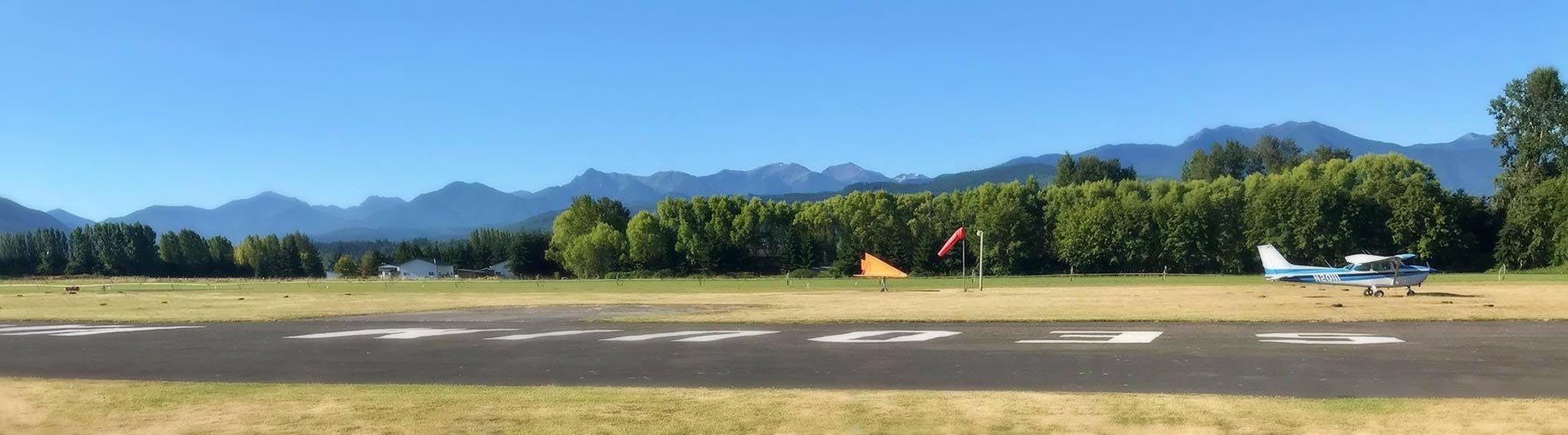
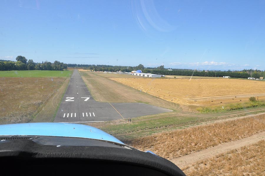
The Sequim Airport features a 3500 foot paved and lighted runway. This privately owned airport is open for public use. Tie Downs are available for transient aircraft. Onsite services 24 hour 100LL Avgas, parking, loaner car, loaner bikes, taxi, & other airport operators.We no longer charge a landing fee for non-commercial aircraft
Runway Information:
- Runway 9/27
- Dimensions: 3500 x 40 ft.
- Surface: asphalt
- Runway edge lights: low intensity
- Runway edge markings: RY 27 MKD WITH BROKEN LINE.
- RUNWAY 9
- Traffic pattern: right
- Displaced threshold: no
- Touchdown point: no
- Obstructions: FENCE
- RUNWAY 27
- Traffic pattern: left
- Displaced threshold: no
- Touchdown point: no
- Obstructions: CAUTION! Tall trees south and on right side of the final approach. Center line approximately 400ft from runway 27 threshold which are 80+ feet tall. There is no light obstruction lighting for these trees.
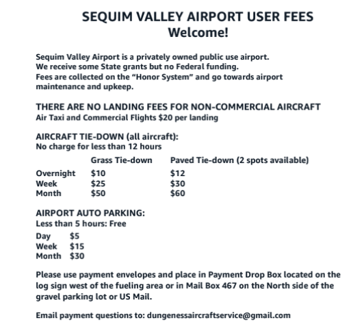
Airport Landing & Tie Down Fees:
- THERE ARE NO LANDING FEES FOR NON-COMMERCIAL AIRCRAFT as of 11-1-2024
Airport Noise:
Sequim Valley Airport has no jurisdiction over local airspace and aircraft that are flying. Noise complaints about aircraft that are flying can be sent to the FAA.We encourage local pilots to be neighbor friendly and follow the suggested guidelines listed below under policies. Please note that there are over nine additional local airports and that many aircraft are based at different airports. An airplane may originate from many different locations. We do not have the authority to tell pilots where and when they can fly around the Sequim area.
Sequim Airport Guidelines:
- SVA Friendly Neighbor Guidelines, please exercise these noise abatement procedures:
- Use low power settings while flying in the local area
- Mid field and intersection departures are not allowed
- As a general rule, try to limit touch and goes to a max of 3 max per day for noise abatement
- Stay above 2,000ft AGL while flying in the local area
- Traffic patterns should turn west of Kitchen-Dick and east of Carlsborg Rd at 400ft AGL or higher for arrivals and 1,000ft or higher for departures.
- We encourage local pilots to be neighbor friendly and follow the suggested guidelines listed above.
- Dogs
- All dogs and pets must be on a leash at Sequim Valley Airport. This is for all areas of the airport. This airport is not a “dog park”
- Drones are restricted at Sequim Valley Airport:
- All drone operators must obtain prior permission from Sequim Valley Airport Management prior to any drone operations in the vicinity of the airport.
- We ask that drone pilots avoid flying within 2 miles of the runway in the approach and departure corridors located east and west of the runway and stay below 300 feet above ground level south of the airport and airport traffic pattern.
- Parachute operations:
- Prohibited without prior written permission from SVA management.
More about your Sequim Airport:
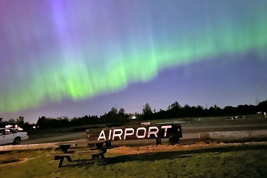
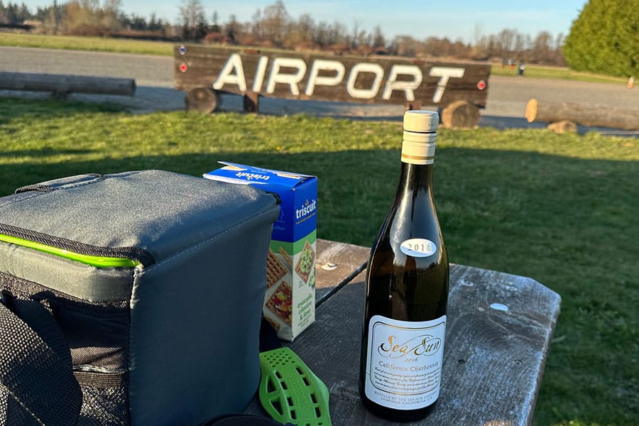
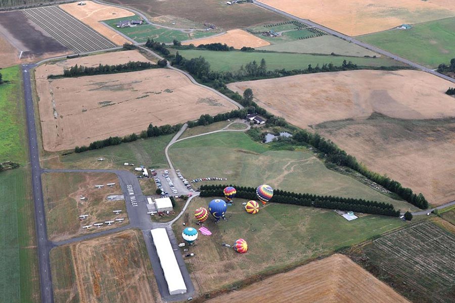
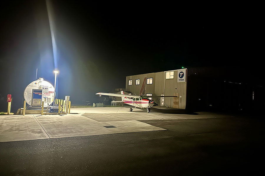
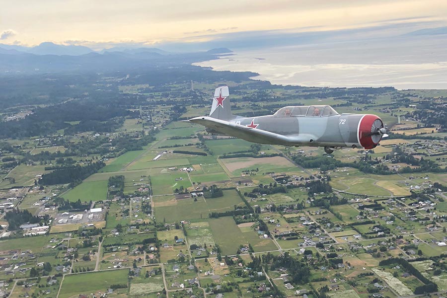
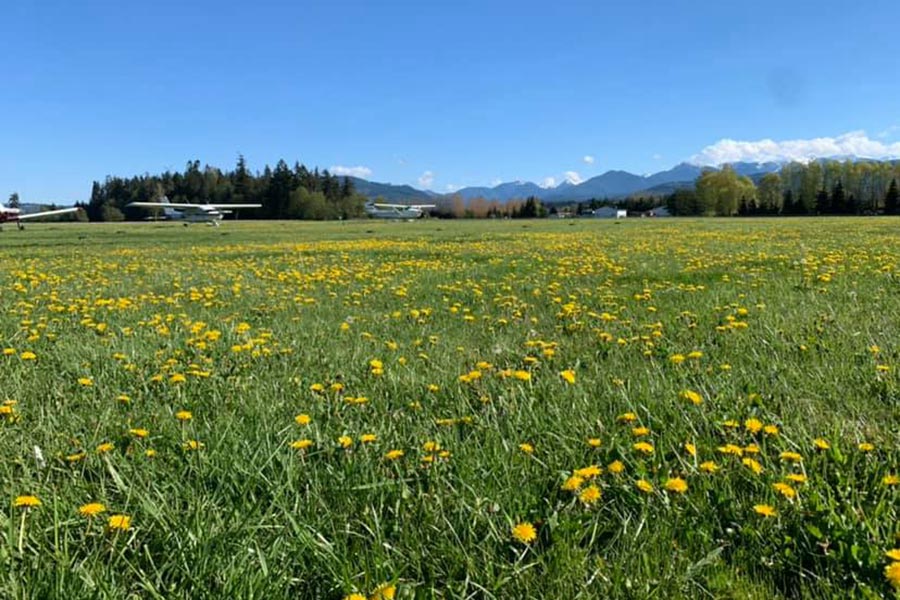
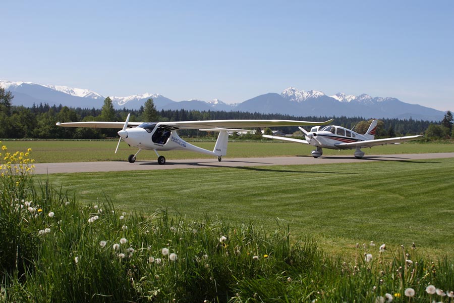
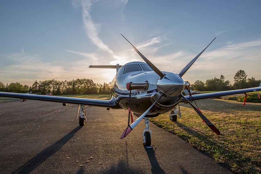
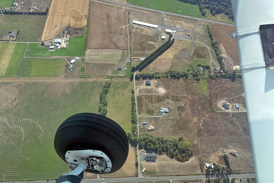
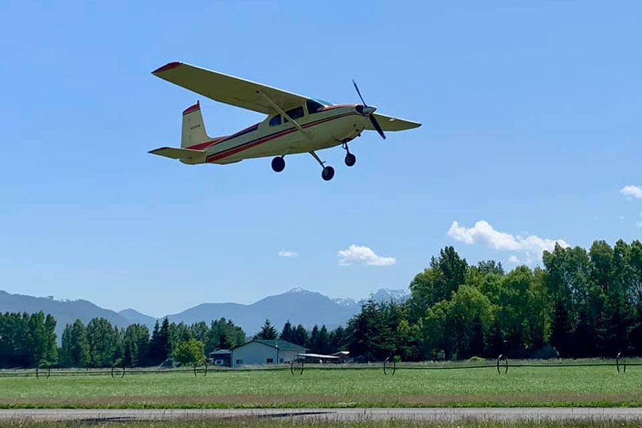
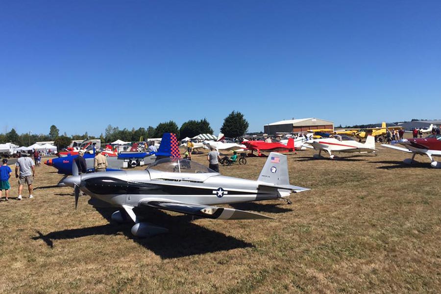
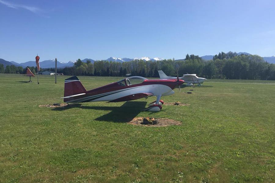
Photos of Sequim Valley Airport:


Government and Organization Partners:
SVA is proud to work with the following Government and Organization Partners through community involvement and emergency response training.